 Easy
Daffodil bloom
In April the meadows fill with wild daffodils — Gérardmer’s famous Daffodil Festival.
Learn more →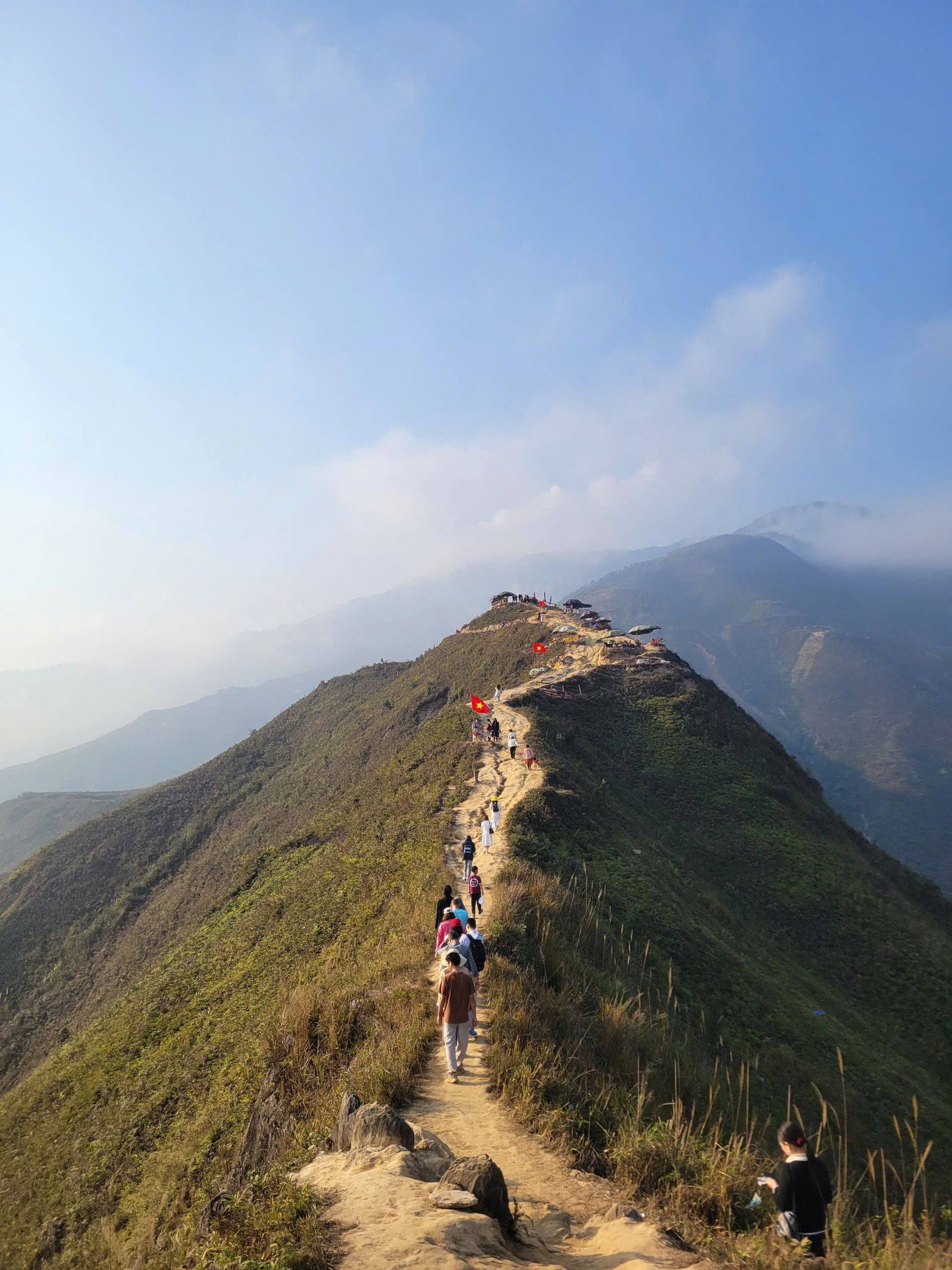 Photo: Pexels
The Vosges massif is one of the best-waymarked hiking areas in Europe: the Club vosgien, founded in Saverne in 1872, maintains nearly 20,000 km of footpaths through volunteer work. Ridges and high pastures (chaumes) above 1,000 m, glacial lakes, fir forests and vineyards at the foot of the Vosges follow one another within a few kilometres. The GR5 follows the ridge line, and thousands of loops let you plan anything from a day out to a multi-day trek.
From May to October, the ridges are accessible and the days are long; in spring, flowering daffodils colour the high pastures, and in autumn the forests turn every shade of gold. To get started, choose a loop waymarked with a ring, which you can follow without a map, around a lake or a farm inn (ferme-auberge). Experienced hikers can link up the summits of the Hohneck or the Grand Ballon, and in winter, snowshoes and ski touring take over on the same slopes.
Easy In April the meadows fill with wild daffodils — Gérardmer’s famous Daffodil Festival.
Learn more → Moderate
Porcini, chanterelles and black trumpets in mixed forests and damp valley bottoms. Family picking capped at 5 L in the Hautes-Vosges (forbidden in private woods).
Learn more → Moderate
Quietly through the snowy ridges and forests, away from the slopes — guided outings available.
Learn more → Moderate
The ridge trail (GR5) links the summits across the high moorlands, overlooking the Alsace plain.
Learn more → Easy
Lake loops and flat, short, shaded trails, perfect with young children.
Learn more → Demanding
Together with the GR53, the GR5 forms the great traverse of the massif, from Wissembourg to Belfort: a trek from refuge to farm-inn.
Learn more → Moderate
Loops to glacial lakes nestled in their cirques, between forest and rock.
Learn more → Moderate
Climbing to the summit at dawn to watch the sun break through the sea of clouds: pure magic.
Learn more →—
3 real places and providers in Alsace and the Vosges, each with its own page: practical info, map, weather and ideas nearby.
Every activity in the massif on one map. Filter by category and click a point.


Learn the waymarksThe Club vosgien’s markings combine shapes and colours: the red rectangle indicates the GR5, the ring a loop that brings you back to your starting point. Spot your route’s symbol before you set off.
Carry a proper mapExcept for ring-marked loops, a 1:25,000 topographic map is essential for planning your route; the Club vosgien publishes them with IGN.
On the ridges, set off earlyOn the high pastures there is little shelter from wind, storms or fog. Set off in the morning, keep an eye on the weather and always carry a warm layer.
Plan your break at a ferme-aubergeOn the Alsace heights, a loop is often built around a farm inn for a repas marcaire: book in high season and check opening days.
High pastures and herdsIn summer, cows graze on the ridges: close gates behind you, keep your dog on a lead and walk calmly around the herds.
Stay on the trailsSeveral parts of the ridges are fragile nature reserves; in winter and spring, quiet zones protect wildlife. Follow waymarked routes and take your litter home.
Since 1921, the Club vosgien has held the monopoly on waymarking trails in the massif. Its red rectangle, which now marks the GR5, was introduced as early as 1897: a waymarking system adopted as far afield as Latvia and Brazil.
Source ↗The ridges between the col de la Schlucht, the Hohneck and the Grand Ballon offer the widest views in the massif. For a gentler outing, the loops around the lakes of Gérardmer, Longemer or Lac Blanc suit all levels.
From May to October, the ridge trails are generally passable and the fermes-auberges are open. In spring, daffodils carpet the high pastures; in winter, snowshoes let you keep walking on the snow.
Yes, on loops waymarked with a ring, which bring you back to your starting point following the same symbol. For other routes, you will need a topographic map to link up the Club vosgien waymarks.
Yes, the GR5 crosses the massif from north to south, largely following the ridge line, waymarked with a red rectangle by the Club vosgien. You can walk it in day sections or as a trek, staying in mountain huts or gîtes.
